Like many great days, this one started with… classes? Yes, this adventure actually happened on a Thursday, so Skyler and I were hard at work until the afternoon. Upon fleeing geology lab, Skyler suggested that we actually go and do something, rather than a spend another evening working on projects. I couldn’t agree more, and soon we were roaring westwards down Highway 50. On the other side of Blue Mesa Dam, and a ways up a dirt road flows Soap Creek. It requires a long drive past a scene from The Hills Have Eyes, but one can eventually reach a campsite where the Coal Mesa Trail begins.

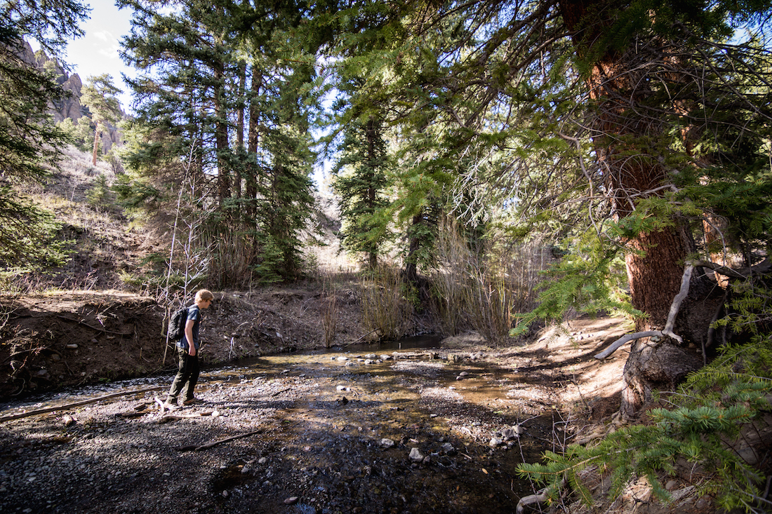
The trail crosses and follows a smaller waterway, called Cow Creek, which flows in from a side valley. Skyler and I took a bridge over Soap Creek and followed this trail for about a mile, at which point we arrived at a fork. We turned left which, in retrospect, was not the right choice.
After about a mile and a scouting run up a hill, it became apparent that we weren’t on the right route, and we turned about to find the fork again. Once we were back on the right track, we found ourselves racing uphill against the setting sun. Our ultimate goal was to reach the nearest high point, which was at the top of some large cliffs on one side of the valley.

We made it with time to spare. A couple groups of elk greeted us at the top, though it was obvious that they didn’t appreciate our company. The San Juans dominated the horizon far to the South.

After a rest and some pictures, it was time to start the descent. We first walked by a strange metal object we had seen on the climb up, though that turned out to just be a trough. The water source next to it we later found to be named Poison Spring. The sky rapidly turned dark, and most of the trek down was done under stars and the glowing gibbous of the Moon. Less than for hours and just over 9 miles after we had started, the hike was over.

~Ty and Sky

One thought on “A Coal Day in Hell”