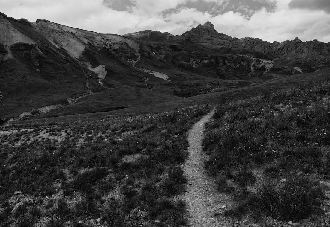
On August 30th we (Tyler, Skyler, and Tshering) hiked Wetterhorn Peak. It wasn’t the conventional route, but perhaps a more exciting one. We left from Gunnison, CO at about 3:30 AM. The drive up to Lake City, and up Engineer Pass, was clear. We parked at the fork for the Henson Creek Road. It’s possible to take non-4WD vehicles past here towards the trailhead, but we decided against it. After roughly 2 miles, we reached a point where the road turned to a 4WD one, though that didn’t matter to us on foot. It was another 0.7 miles until we reached the actual trailhead. The trail eventually brought us to a sign that pointed left for “Matterhorn Cutoff Trail No 245”, and right for “Ridgestock Trail 233”. The sign also had “Wetterhorn”, and a right facing arrow carved into it, but it was still dark and we missed the graffiti. Instead, we chose to go left. The trail brought us up to a magnificent valley. Wetterhorn rose up to our right, which immediately clicked as being wrong.

A group that had been following us caught up at that point and, with some slight dismay, realized the issue and turned around. We were more conflicted. The mountain was in sight, as was the ridge that the true trail followed. Rather than turn around and take the proper way, we decided to just take our chances with hiking to the ridge. About halfway up to the ridge, our group was split up. Tshering, being a native Sherpa, was able to just sprint straight up the rocks and scree. I veered left, climbing up a small chute and reaching vegetated (and thus more stable) ground. Skyler followed another path, but found himself struggling to scramble up the loose rocks.

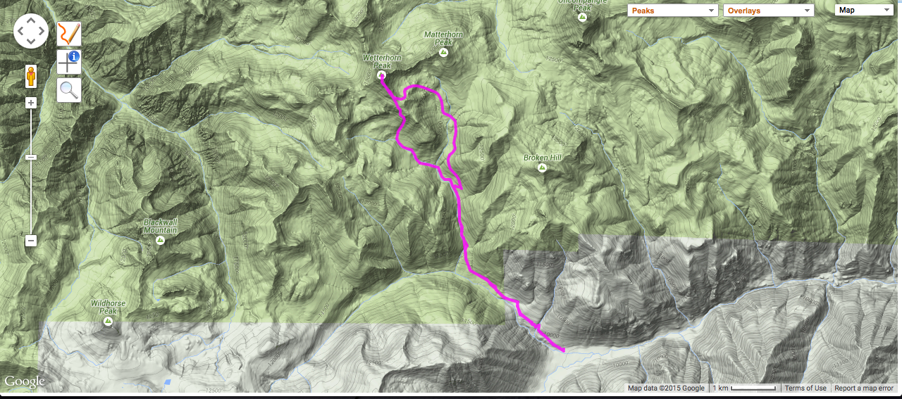
(Map graphic courtesy of 14ers.com)
After we all reconnected, there was one more cliff to climb before reaching the ridge. It was composed of extremely loose rock, and it took some time to find a reasonably safe way up. Following that, however, we were in the clear. The trail was just ahead, and we were able to take the normal route from there. For a little ways, the trail became pure yellow gravel. It was clearly overused. It was difficult to get through without slipping, as it was also on a fairly steep slope.

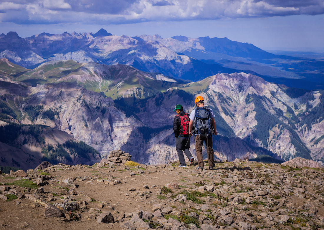
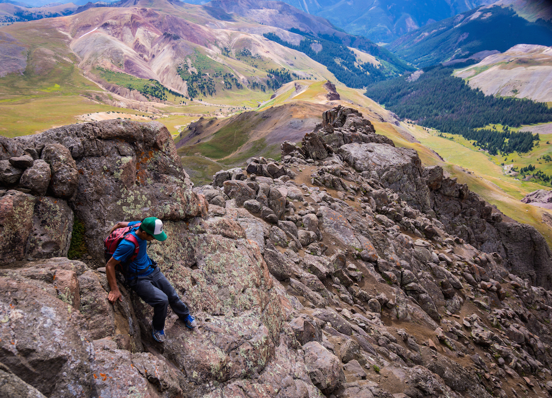
After the gravel, the hike turned to a climb. The trail essentially disappeared, replaced by rock climbing and scrambling up a boulder field. There were several cairns, and the way wasn’t too difficult to pick out. Eventually, we reached a flat area before the final summit. From there, Tshering climbed straight up a cliff to the summit. Skyler and I went to the left side of the peak, where there was a section that was more like a steep stone staircase. It was a slightly easier climb, but with a great deal of exposure.

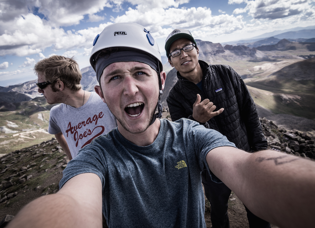
It was about 10:00 AM when we got to the top. The summit was a small one. We didn’t stay for long, as dark clouds were beginning to roll in.

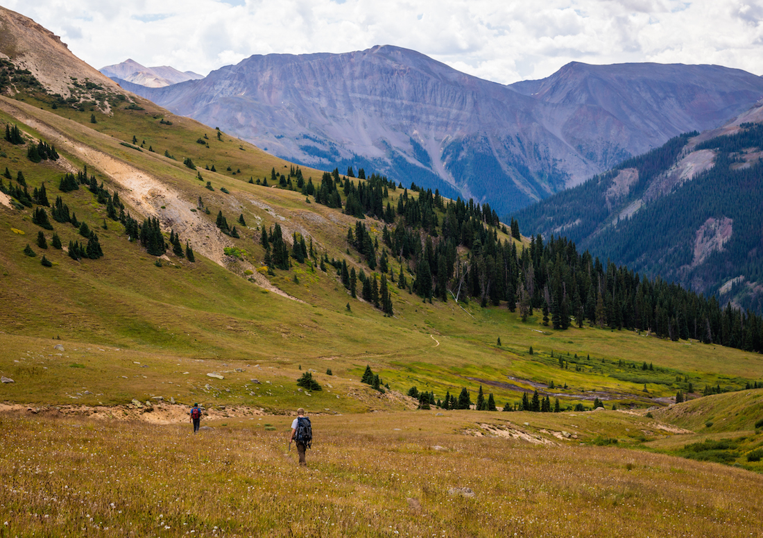
The down climb progressed faster, which we considered to be lucky, as some snowflakes were beginning to tumble from the clouds. There turned out to be no real danger. After leaving the climbing portion of the hike, the trail returned to normalcy. The route out was clearly marked and well used. Columbines grew all along the trail, a pleasant sight on our way out. The clouds overhead never released more than a few drops the whole way.
We were back at my car by 1:15 PM, with a finishing mileage of about 13 miles. The parking spaces all along the road were much more cramped than when we had driven up. We were all exhausted, but happy that we had made it to yet another summit, and made the best of a setback. Perhaps there’s a lesson in that.
~Ty and Sky
(Pictures courtesy of Skyler Stanley, words courtesy of Tyler Brant)
