“An easy hike.”
“A few hours max.”
That was the plan, but at least one of us is pretty bad at making plans. The idea for the day was to reach a small summit in Pike National Forest: Raleigh Peak. This was to be achieved by following part of the Colorado Trail to a segment of an abandoned Forest Service road, from which we would finally make a beeline through unmarked forest to Raleigh.
We started at the South Platte Trailhead, beginning of Segment 2 in the Colorado Trail. From a small dirt lot off of a narrow dirt road in a dusty valley we immediately crossed the South Platte River via an old iron bridge.


The Colorado Trail climbed up several switchbacks, making it a solid uphill for the first mile of hiking. This was in pine forest, with all of the typical scents and sounds filling the hot summer air. At the top of the switchbacks we were able to get a glimpse of the South Platte corridor and a sense of the isolation in this region.

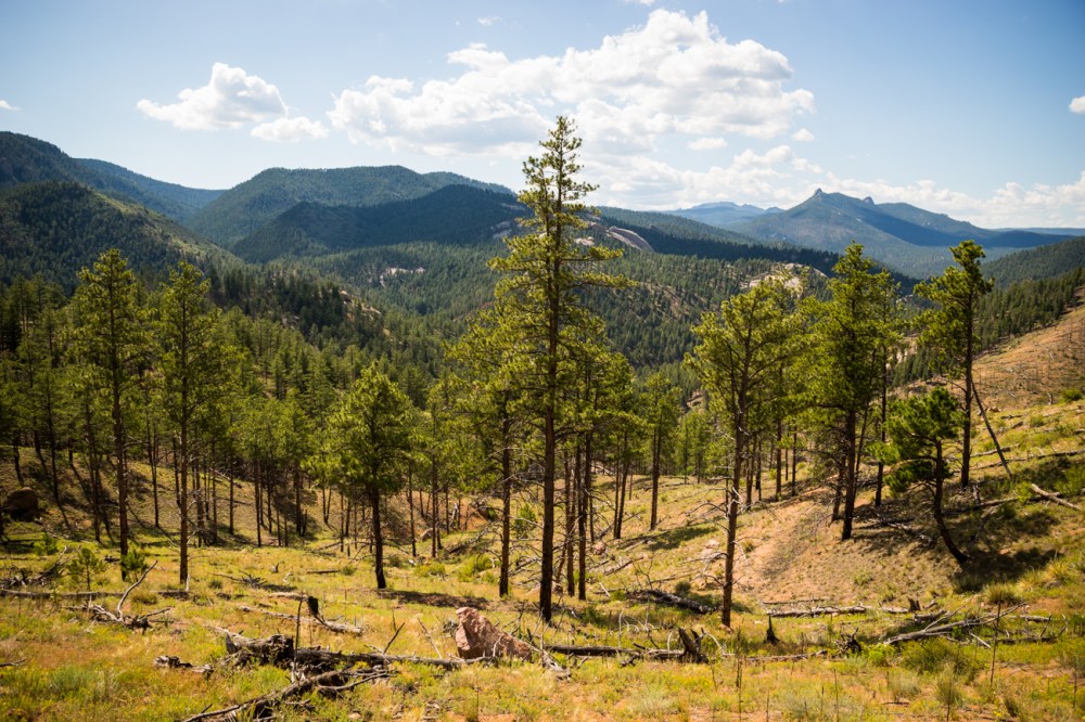
It was less than half a mile after topping the switchbacks that we found the trees beginning to thin out. Ahead of us the landscape opened up fully, the forest having been decimated by the Buffalo Creek Fire in the ’90s. Raleigh Peak, not visible from the road below, rose up above the ruin. Another local landmark, Long Scraggy Peak, was clearly observable to the south.
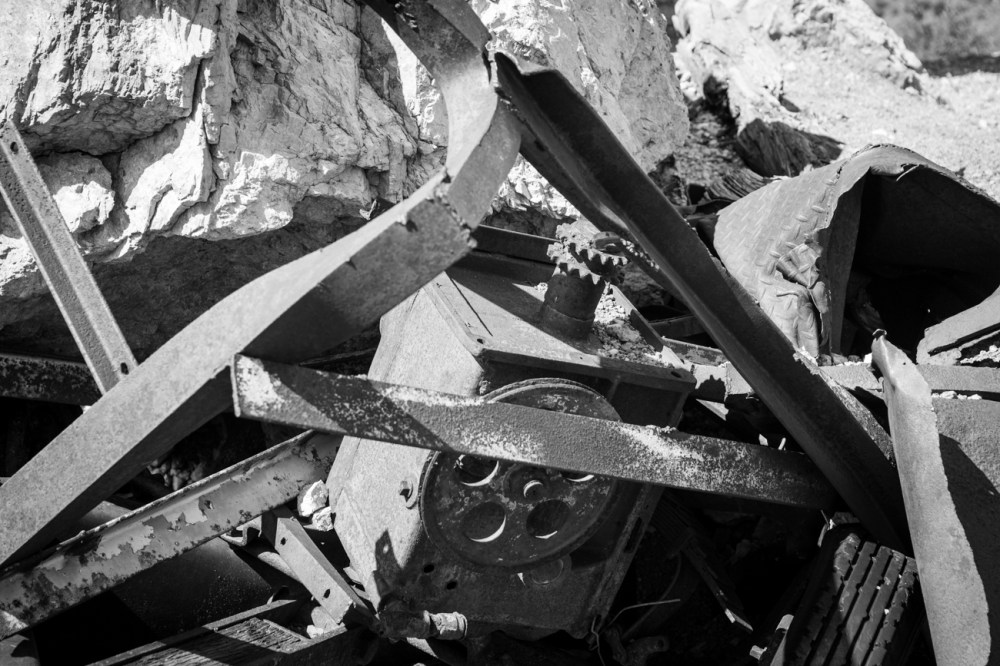
A long-abandoned quartz mine lay just off the trail shortly beyond the edge of the burn area. Very little equipment remained, just some old pipes and a flattened truck, and the mine was more noticeable by the massive hole it had left in the side of the hill and the overgrown roads snaking away from it.
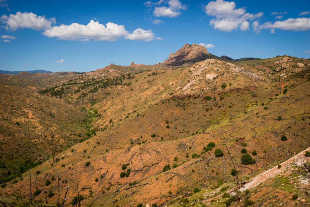
Our route meandered among the alien landscape for another couple of miles. Flora consisting of mostly yucca, mountain mahogany, and mixed wildflowers sprouted out from the charred wood and sandy dirt. The fauna spotted among these features was a few birds and a singular lizard. There were some signs that elk had been in the area, but not recently.
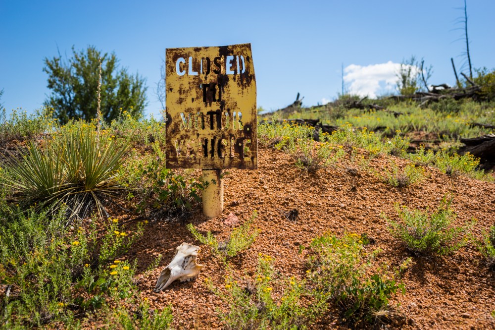
Just past a faded metal Forest Service sign we found our turn. Going left (southwest), we put the Colorado Trail behind us and started up one of the defunct roads we had spotted before.

It was around this point, with Raleigh Peak dead ahead, that we started to realize we were in for more than we had planned for. Our goal had, visually, gotten no closer, and the clouds in the sky did little to assuage the hellish heat of the day.


The road we had been following eventually let out onto another dirt road, this one in better condition and surrounded by living trees. Man-made stacks of dead brush dotted the roadside along this part of the route. The air sat mostly still and was uncomfortable in the absence of birdsong or squirrel chatter.
Once we had reached a point in the road where Raleigh Peak was mostly south of us, we turned off and began the process of trying to reach the summit sans trail.

The slope sharpened quickly on the mountain side, and a dense mixture of trees, shrubs, and rocks made the climb a slow one. Occasional cairns marked social trails which vanished almost as soon as they appeared. Once at the top of the mountain, we found that we would not even be able to reach some of the highest points of the peak, as the highest points were simply large rocks jutting out of the ground. There were no handholds, no easy ways up, and enough exposure to make us nervous about trying anything stupid.
Disappointed to have not made a true summit, but still quite happy with the views of the surrounding Pike National Forest, we started trying to work our way back down to the road. This bit was the true challenge of the day; whereas climbing up had been tricky, climbing down the steep slopes seemed downright treacherous, and it took us nearly twice as long to descend as it had to ascend.

Still, with a bit of patience and a lot of water breaks, we finally made it to the road. From there, it was a long jog back to the car, where after about 9.7 total miles of hiking we could crank the AC and head back to Denver. We lamented the whole drive back what had wound up not being the easy hike we’d hoped for.
Until next time…
~Ty & Sky

2 thoughts on “Scorched Earth Saunter”