The Needles District of Canyonlands National Park in Utah has been one of our favorite places to go hiking, ever since this blog was started. We’ve been there numerous times (see here, here, and here for example). However, we realized recently that we were running low on parts of the park that we hadn’t been to before. Two of the major areas that we hadn’t explored yet in the Needles were Cyclone Canyon and Salt Creek Canyon. With Salt Creek Canyon being a major (probably multi-day backpacking) effort, we opted to hike Cyclone Canyon on this trip.
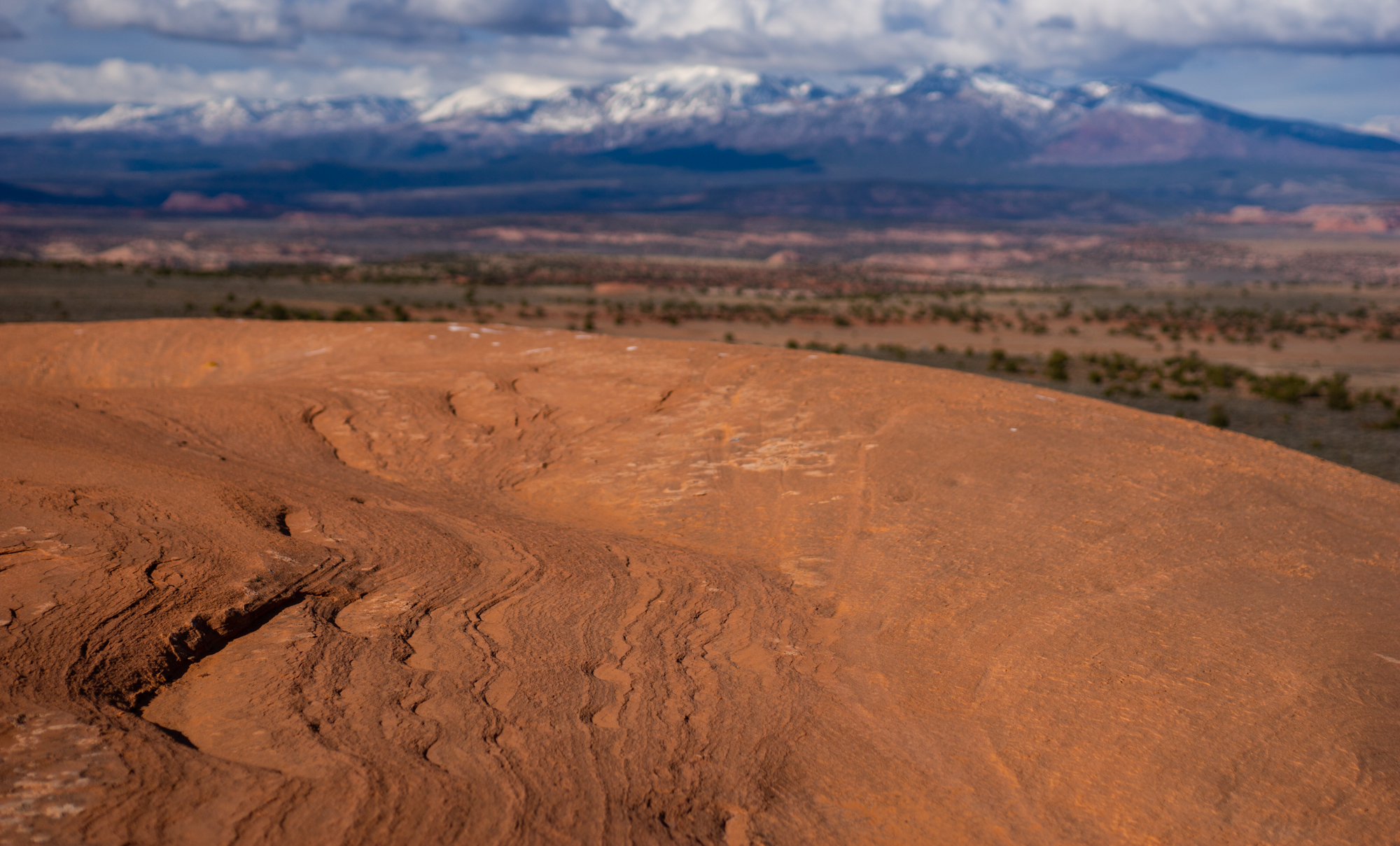
To camp, we found the spot out on BLM land that we had used several times prior. With wind coverage and a fine view of the distant La Sal Mountains, we were partial to it. It’s also nice not having to pay camping fees. Unfortunately for us, the night turned colder than had been forecast, and we spent a good deal of time shivering rather than sleeping in our respective sleeping bags. We were worried that the next day would be a long one.
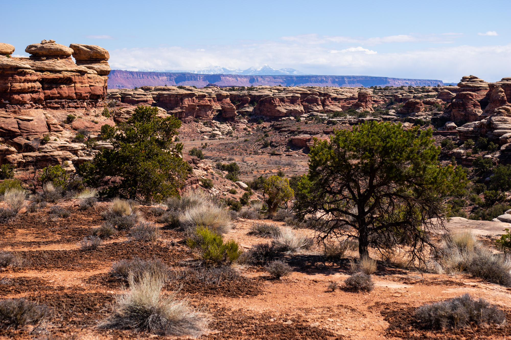
Despite being slow to get moving again in the morning, we were able to get our camping gear stowed away and make way to the district entrance. It was a free entrance day for the National Parks, and big crowds were to be expected. We were grateful to see only a handful of other people as we pulled up to the Big Spring Canyon Overlook: some elderly couples, one family with a couple small children, nobody who would be hiking as far as we would. We packed our bags, put on sunscreen, and descended into the shade of the first canyon.
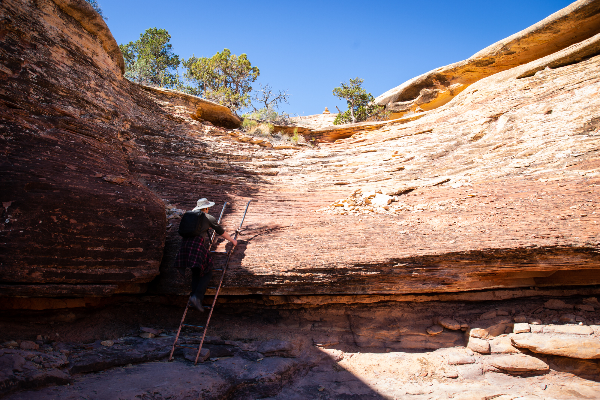
As with many of the hikes in Canyonlands, sections of the route were more so suggestions than clearly delineated trail. Sandstone cairns marked the best ways to descend and ascend the canyon walls. More cairns marked the best way across open swathes of empty rock to the next part of the trail. That’s how it was everywhere we’d been before, and that’s how it was in this part of Big Spring Canyon. Clear trails only appeared in the midst of vegetation and cryptobiotic soil. Still, having a good idea of the route and keeping our eyes open meant that we were unlikely to get lost.


After a couple ups and downs from crossing canyons, we rested at a keyhole in the rock, sheltering ourselves from the already glaring sun. The family hiking ahead of us had turned back, and the primary sounds around us were those of birdsong and the wind. It was easily the emptiest we had ever seen Canyonlands.
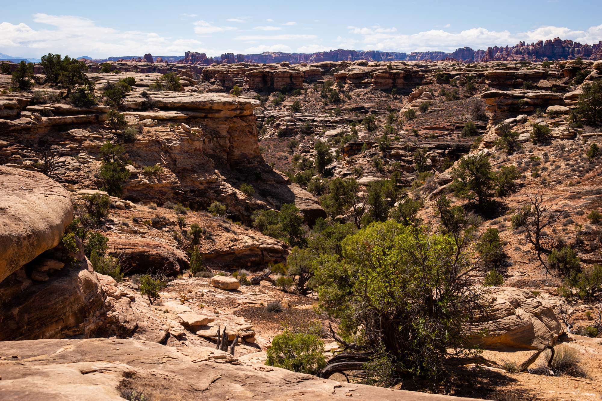
There were a few more cross-canyon ups-and-downs to traverse after our break. After that would be the more wide-open desert plain. For the time though, we got to pass through several canyon floors, each of which seemed to have its own subtly different ecology. More trees and birds in one than in the next, which in turn would have more shrubs and some different kinds of grass or underbrush.
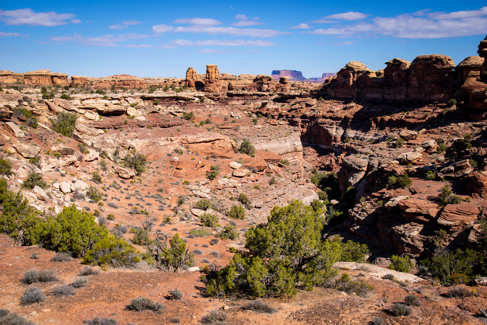
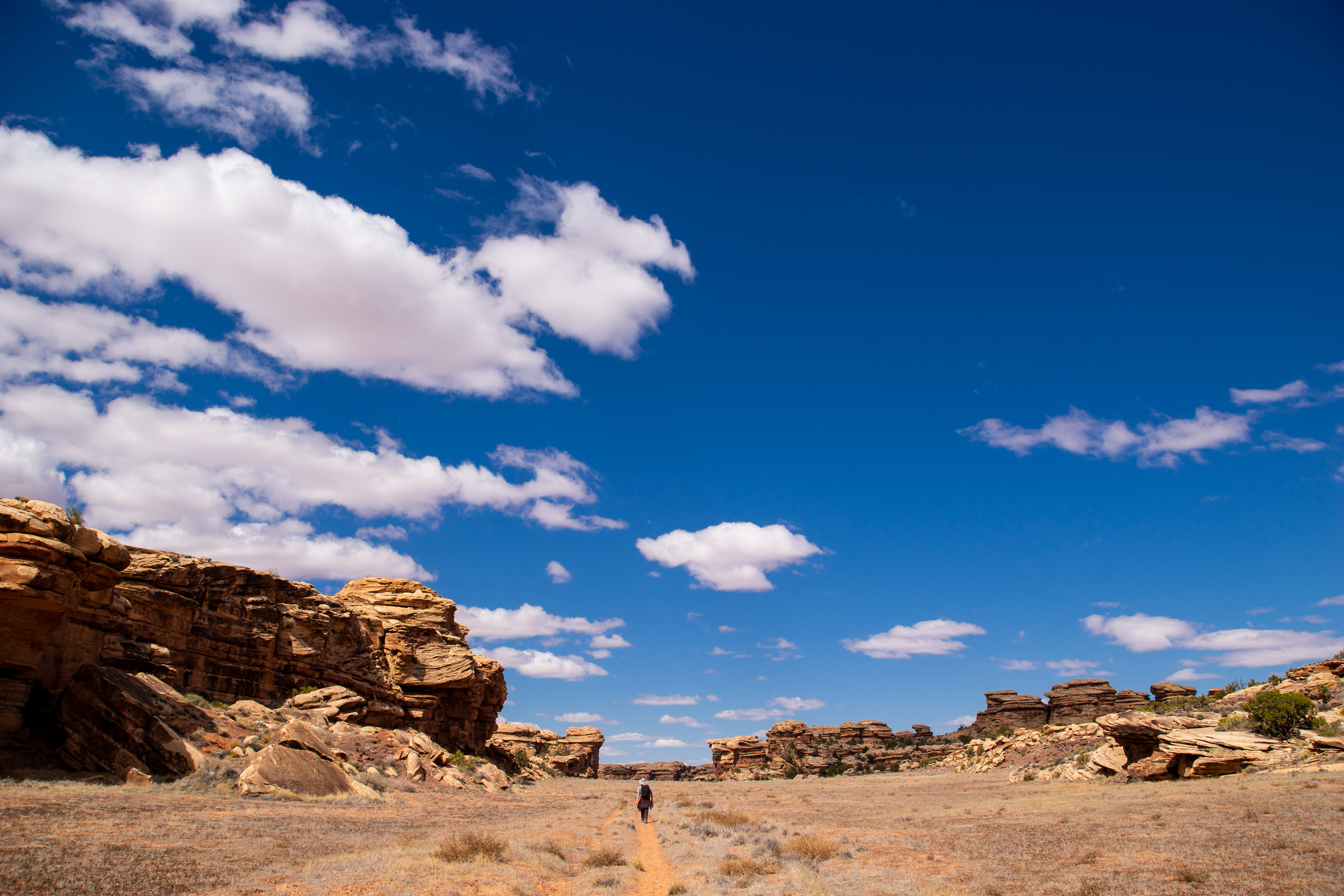
After climbing one more sandstone wall, the scenery opened up to broad plains of grey plants and cryptobiotic soil. The rock formations stuck out more here, a greater contrast to the flat landscape than they had been to the canyons. Unfortunately, with high noon approaching, we didn’t get any shade from the behemoths.
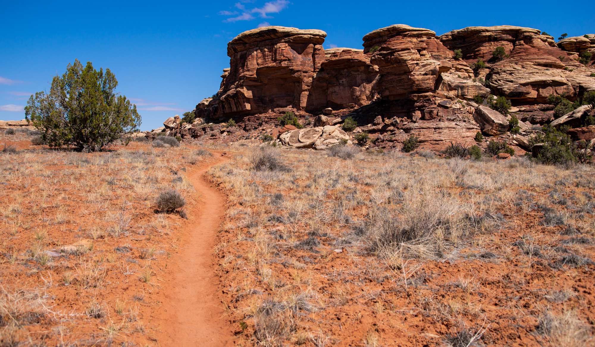
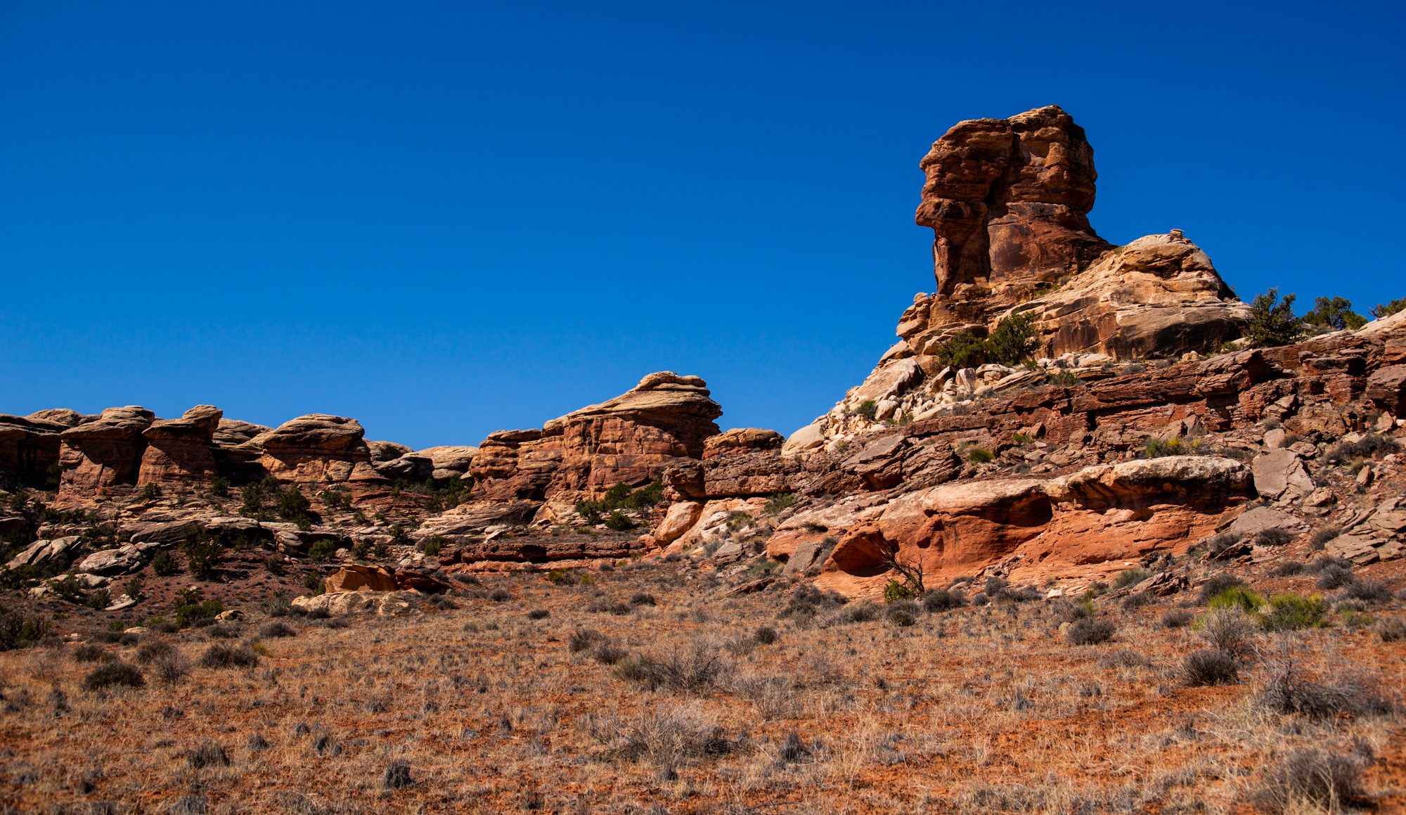
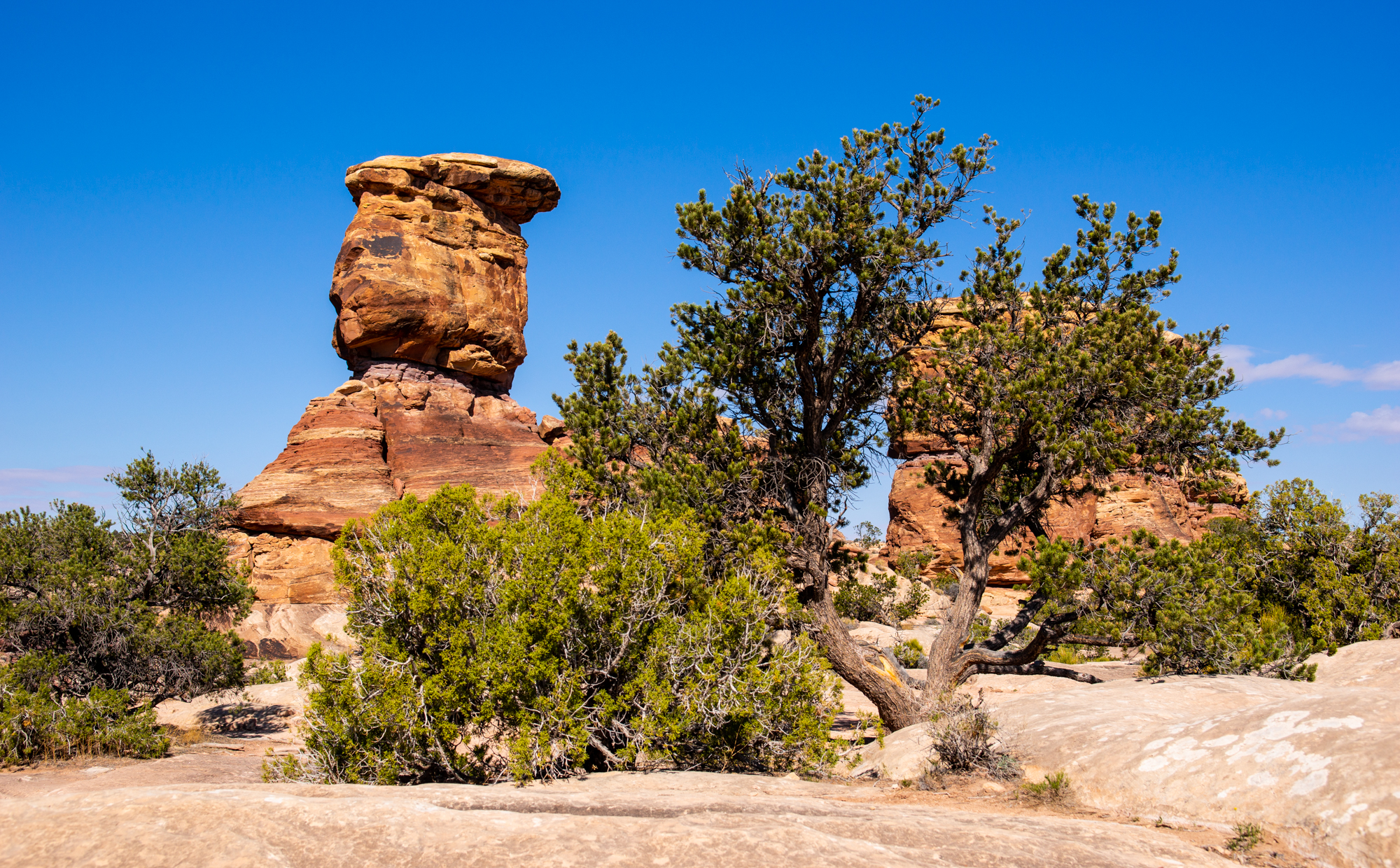
We gained some altitude as we progressed along the plateau, affording us brief glimpses here and there of the La Sals on the eastern horizon. Even when the altitude dipped down and we lost sight of the mountains, the surroundings were still dotted with hoodoos.
After a couple of miles on this section of trail, we finally started a gradual descent into our next canyon. After crossing a dry stream bed, we came across one of the national park’s less attractive features: a jeep track. It was, thankfully, the only one that we would see on this hike. Better yet, there wasn’t anyone driving on it. Few things are more annoying on a hike than having to listen to a motor wheeze around deep in the wilderness.

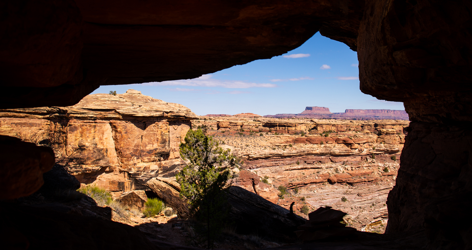
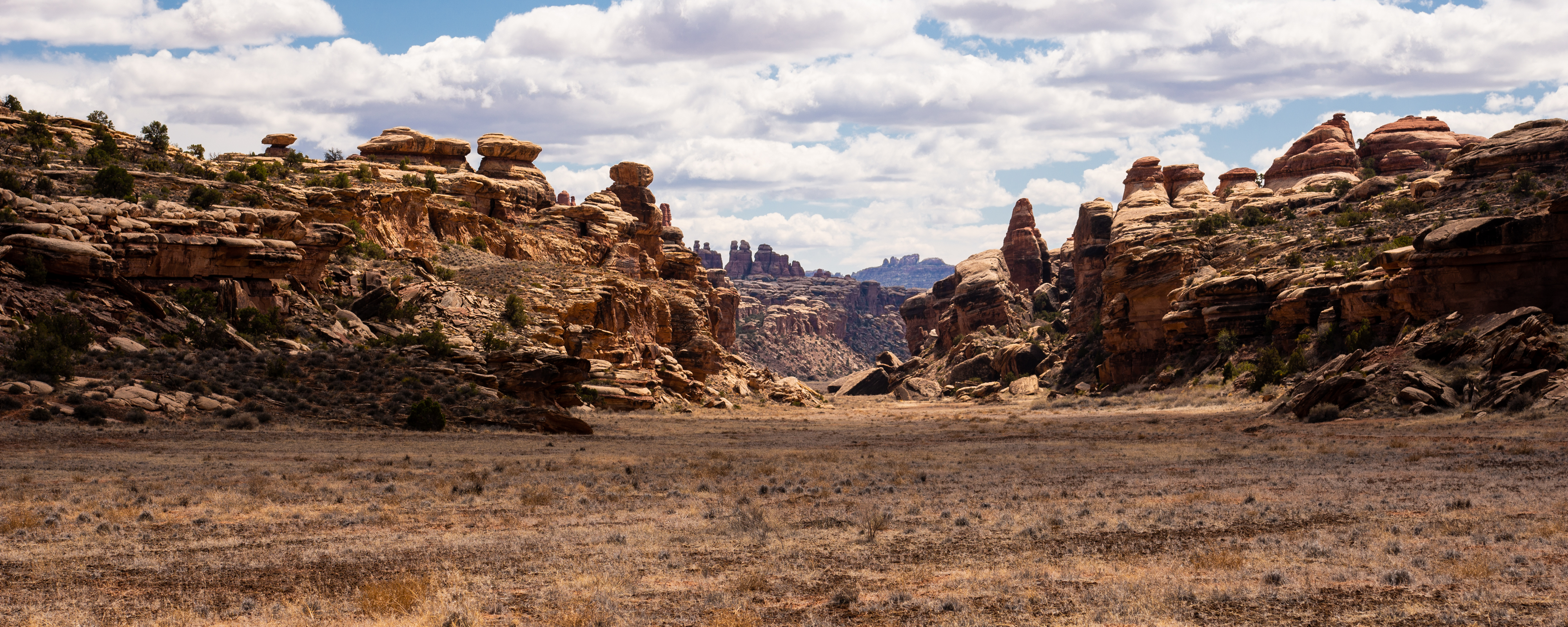
It wasn’t much longer before we reached a fork in the trail. West would take us to the Confluence Overlook, where Green River meets the Colorado River. That wasn’t the way we would be going. Instead, we turned south, Cyclone Canyon directly ahead. It was time to make sure we had our eyes peeled. According to rumor, there were ancient petroglyphs somewhere in Cyclone. Not much info was present on the internet to support this, but still, it didn’t hurt to keep a look out.
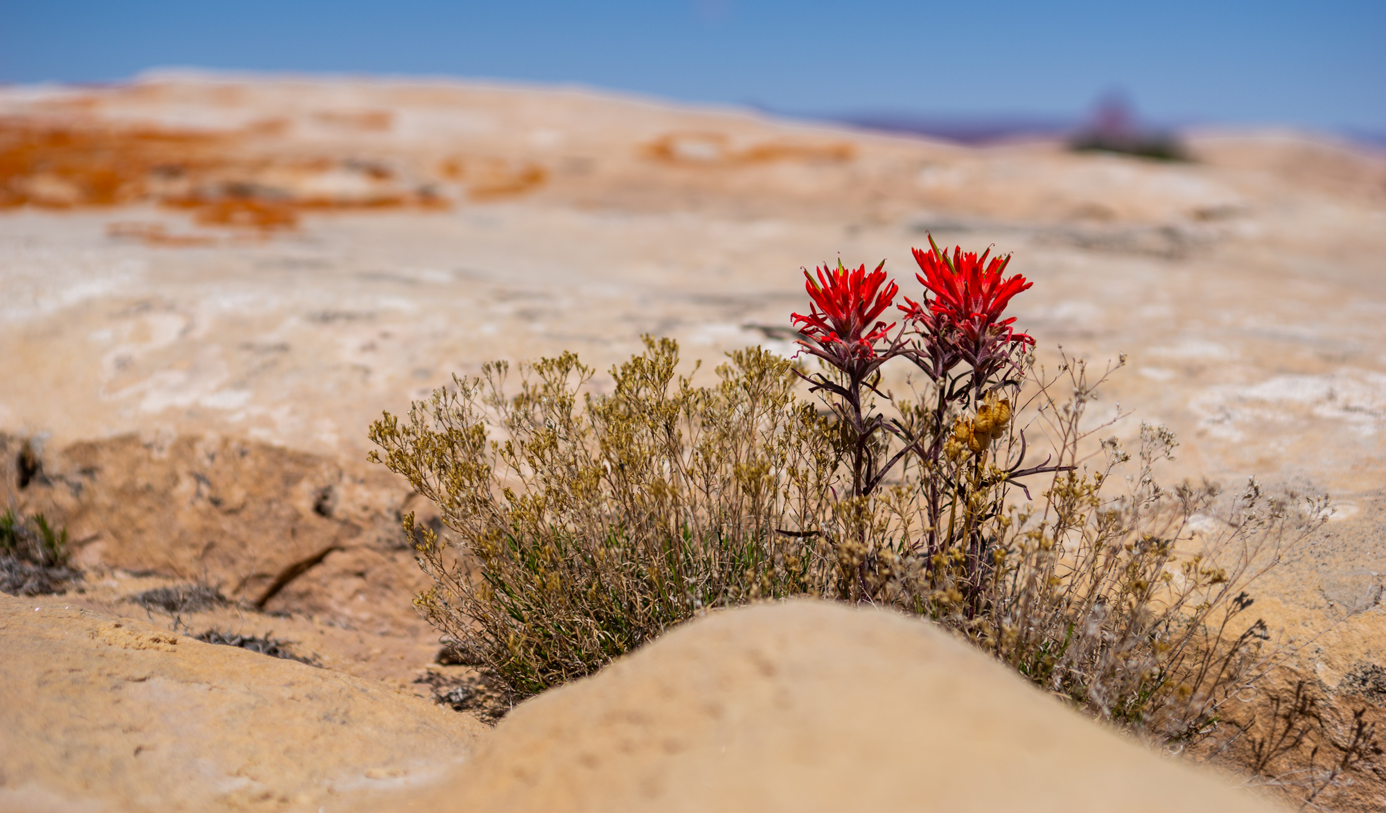
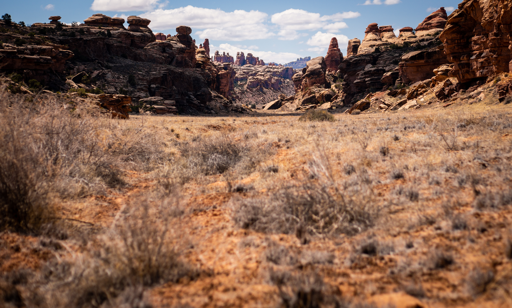
Carvings in the rocks or not, the views in Cyclone Canyon were stunning. Unlike other crevices across the park, whatever water flow had helped formed Cyclone had dried up a long time ago, and erosion left the canyon floor broad and flat. We were glad to be there in early spring-time, as the area likely acted as a natural oven during the hotter days of the summer. There were few shady areas to stop and rest, so even on a mild day the direct sunlight got to be a bit much. The views made up for the conditions.
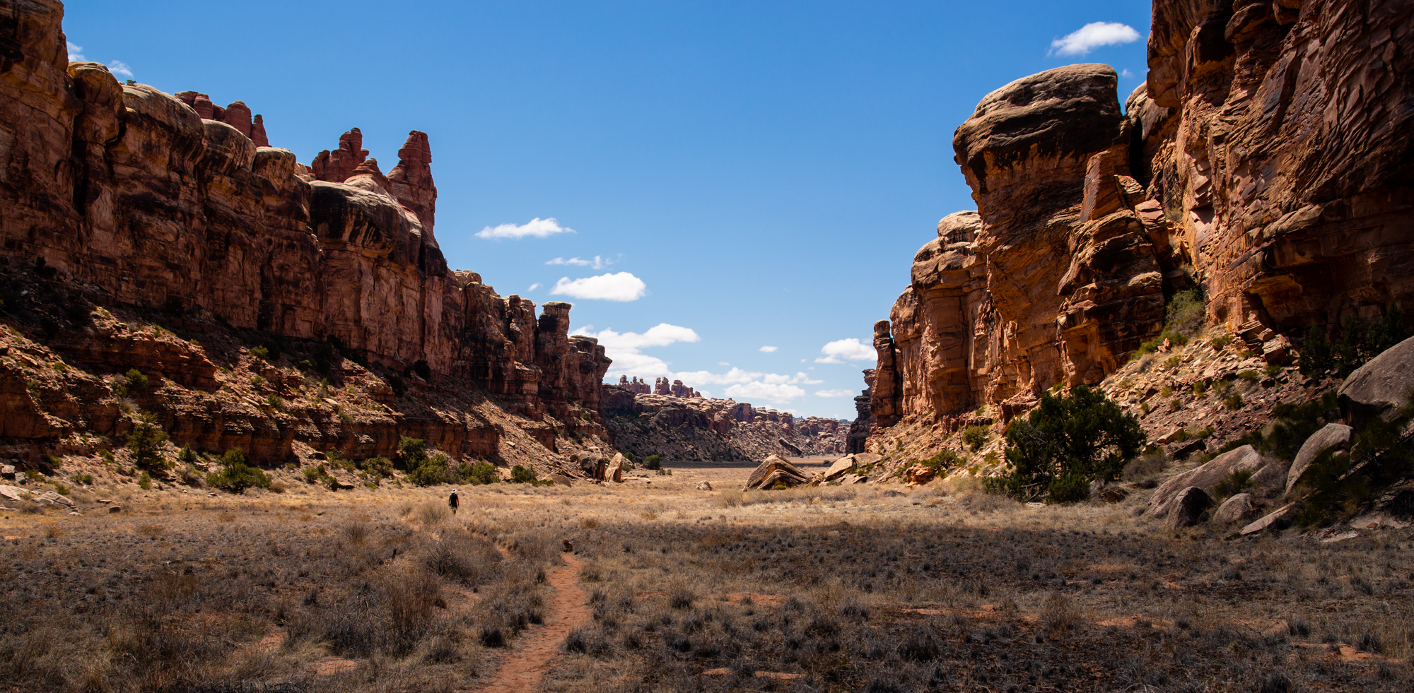
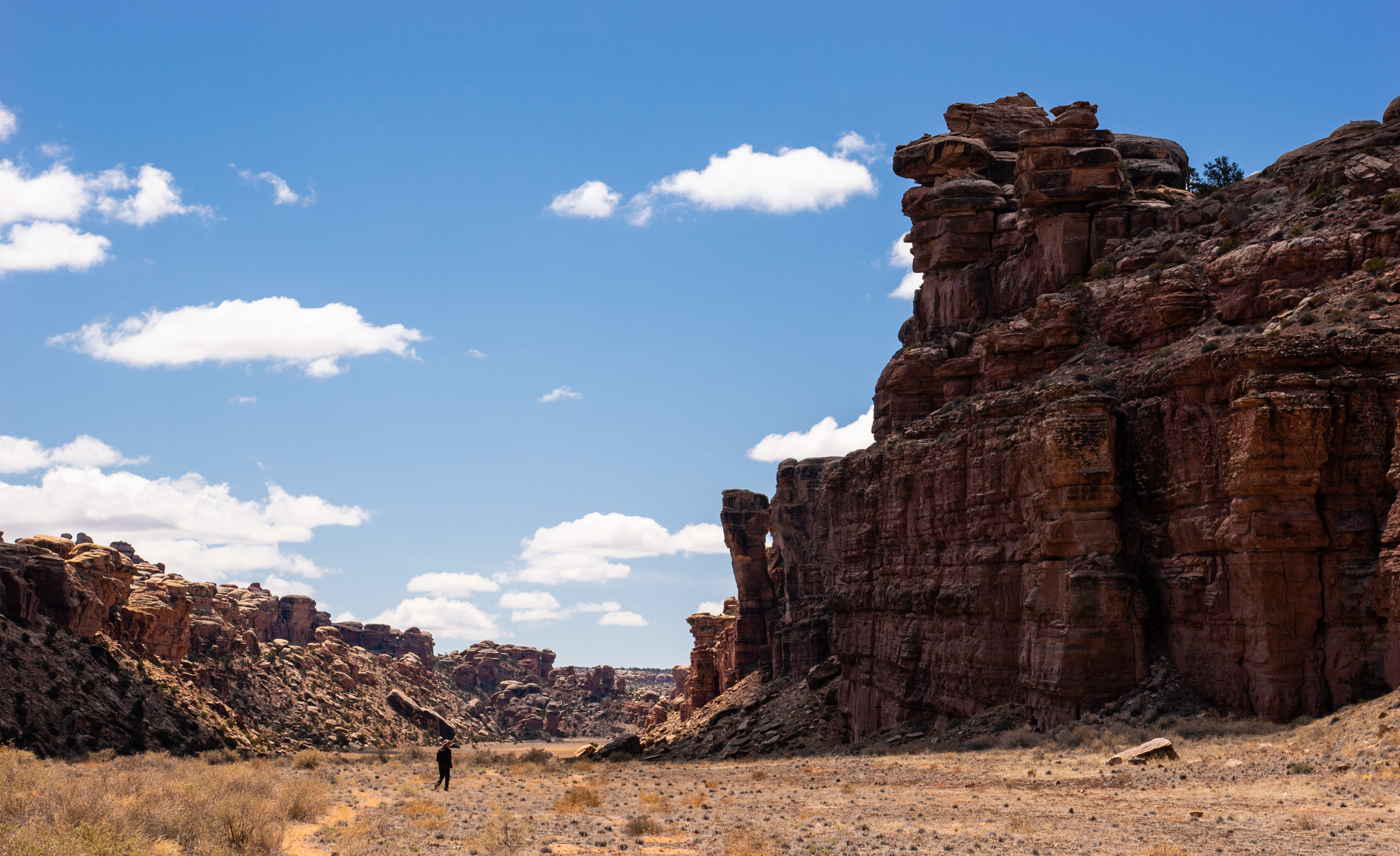

There was almost no change in altitude on this section of trail, which made hiking Cyclone a fast-paced process. The cliff walls to either side tapered off slightly as we reached the end of the trail, where another fork would take hikers either to Lower Red Lake Canyon or up to an access road. We took a break there for water, cast our eyes about one last time for any petroglyphs (no luck), then turned back.
The hike back up Cyclone afforded a new perspective, and somewhat easier photography conditions as clouds rolled in and the sun went lower in the sky. A breeze picked back up. Otherwise, we had silence until well past the the Confluence Overlook turn. These were the best possible conditions to be hiking in the desert.
As is usually the case with out-and-back hikes, the final few miles of trail got to be a bit of a drag. Our water was running low. Our legs ached. And, being closer to the trailhead meant that we began to encounter the occasional group of fellow hikers again. It didn’t help that our final stretch of trail was the up and down canyon hopping that we had started with. Eventually though, we made it back to the car. We didn’t tarry long. There was a long drive back to Denver ahead.
Thanks for reading!
~Sky & Ty

Happy to see this blog post! I wasn’t just hiking in that general area last weekend. I love living near so close to the red rock desert now. One of my favorite places is Sand Canyon near Cortez. Just a short hop from my home. Glad to see your photos, they are really stunning! Of course!
Best!
Jody
LikeLike