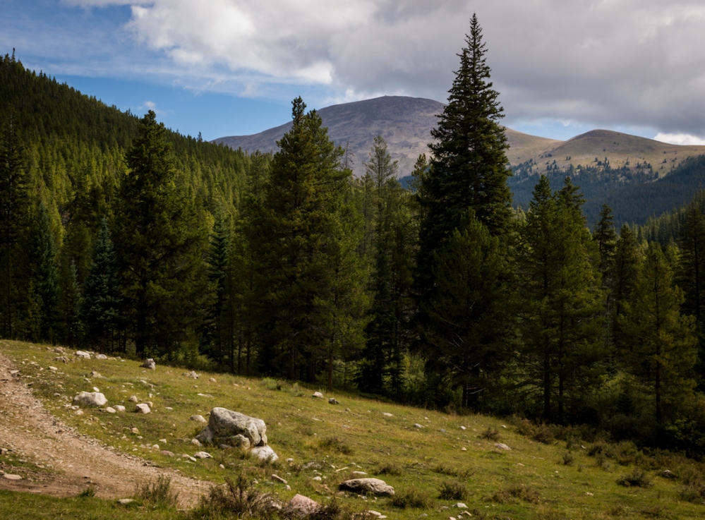
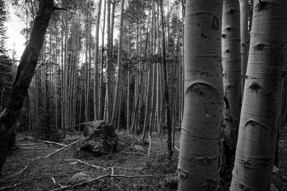
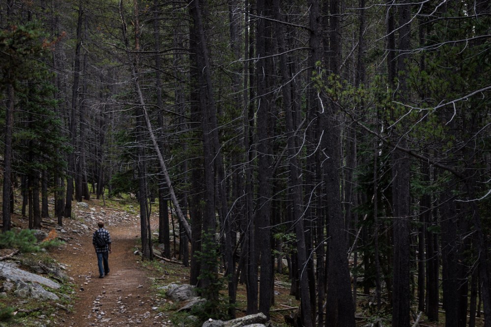
With the end of August comes cooler weather, gentler sun, windier skies, and, for one of the Overcast Adventurers, school! Skyler was back up in Gunnison for classes, and I briefly left my life of state park maintenance to join him for a hike. We departed Gunnison on August 27th for the Fossil Ridge Wilderness (which we’ve visited previously, here and here). This time our goal was to reach the Lamphier Lakes, two snow-melt bodies nestled up next to the middle of nowhere. Just as for Campbell Ramble, the way to the trailhead is a dirt road out of Ohio City, alongside Gold Creek. Locals say the water flowing there is bad for drinking, thanks to toxins from past and present mining efforts. Past several of said mines is the Gold Creek campsite. Several trails branch out from the campsite, going to either local peaks or isolated lakes. The Lamphier Lakes trailhead is a little further up the road, over a short bridge. The route mingles in mixed aspen and pine forest, and is uphill the whole way.
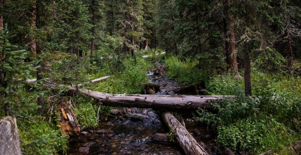
The first mile or so of hiking was a standard dirt trail, with a couple of crossings over Lamphier Creek. After the second creek crossing, the trail became steeper, and the dirt was replaced by a rocky stream. It was still the correct route, water just uses it as well as people. We did our best to avoid soaking our shoes, as it was a cool and cloudy day.
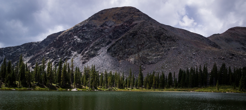
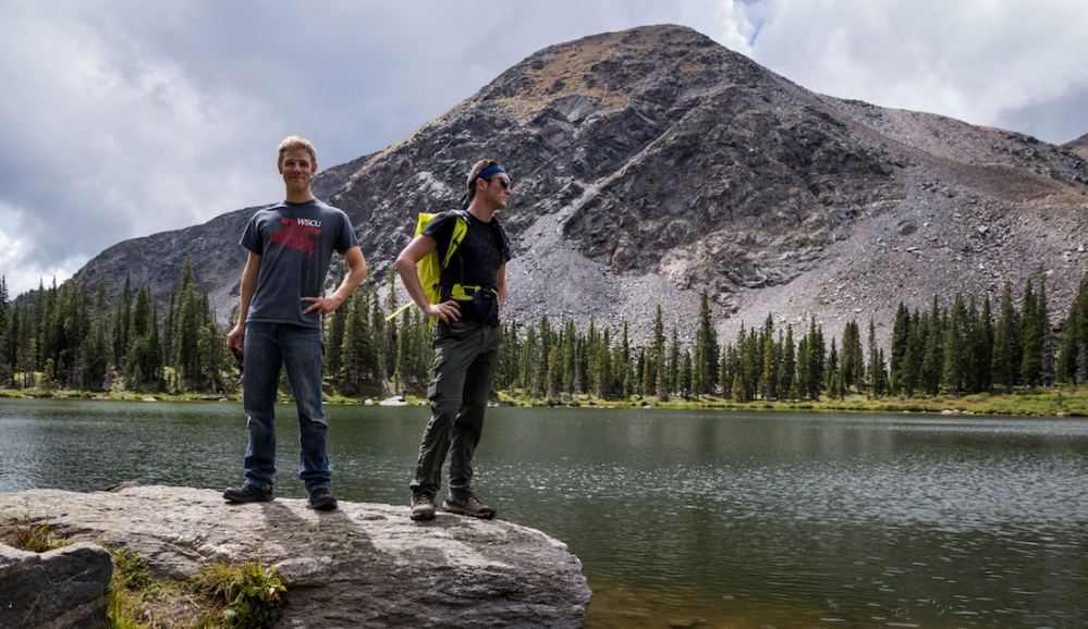
We reached the lakes before noon, and found only one other man enjoying the translucent green depths. On the far side of Lamphier Lake (as opposed to Little Lamphier Lake, the smaller of the two) was a mountain we had climbed a couple of years back, which we had named Brick-Top Mountain (the USGS has no official name for it).
Despite the hike being all uphill, it wasn’t terribly challenging, and certainly wasn’t comparable to some of the 14er climbs we’ve done in the past. Feeling unfulfilled, and with kind weather encouraging us, we decided to explore a bit further. Perhaps we could find a better angle on viewing the lakes.
An unmarked trail bordered the shoreline of the largest Lamphier, and we were able to follow it up to a Forest Service cabin a little ways uphill from the water. The structure was sagging and full of holes. A bright sign on the door called for no trespassing, though it sat open with a broken lock still hanging from it.

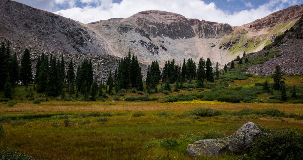
Past the cabin was an open marsh, with Fossil Mountain jutting into the sky beyond it. We circled around and found another unmarked trail which led further up into the rocks. The pines gave way to grey-green meadows, and the trail took us to several overlooks of the lakes.
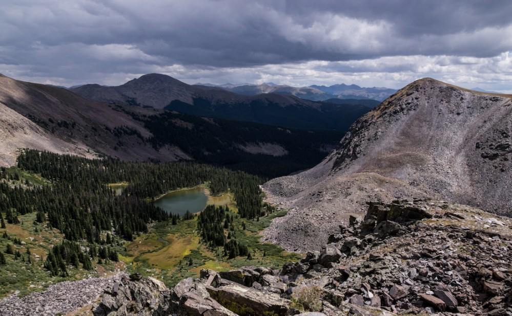
The trail went past the overlooks and up to the ridges beyond. Sadly, the darkening clouds told us to save that exploration for another time. We descended back into the basin, stopped by the lakeside to talk philosophy for a brief time, and then carried on back to the car. Only a few other hikers passed us, making woodpeckers and squirrels the noisiest part of our return. With the whole way back being downhill, we had happy lungs but sad knees.
The rain didn’t materialize until several hours later. However, it’s almost always best to take caution in such circumstances. We can always go back to that unmarked trail another day. In fact, we intend to. The lakes were reward enough for this journey, though. And with that… Stay adventurous!
~Ty and Sky
(Pictures courtesy of Skyler Stanley, words courtesy of Tyler Brant)
