The morning sun filtered through clouds and broken banks of fog as our flights touched down in Vancouver, Canada this past August. It was the beginning of a week in British Columbia for our group of four. The occasion? Skyler was just one month out from tying the knot with his partner of ten years, and we wanted to give him a proper send-off. That send off was to involve a few days out around Howe Sound, an inlet of the Pacific Ocean just north of Vancouver.
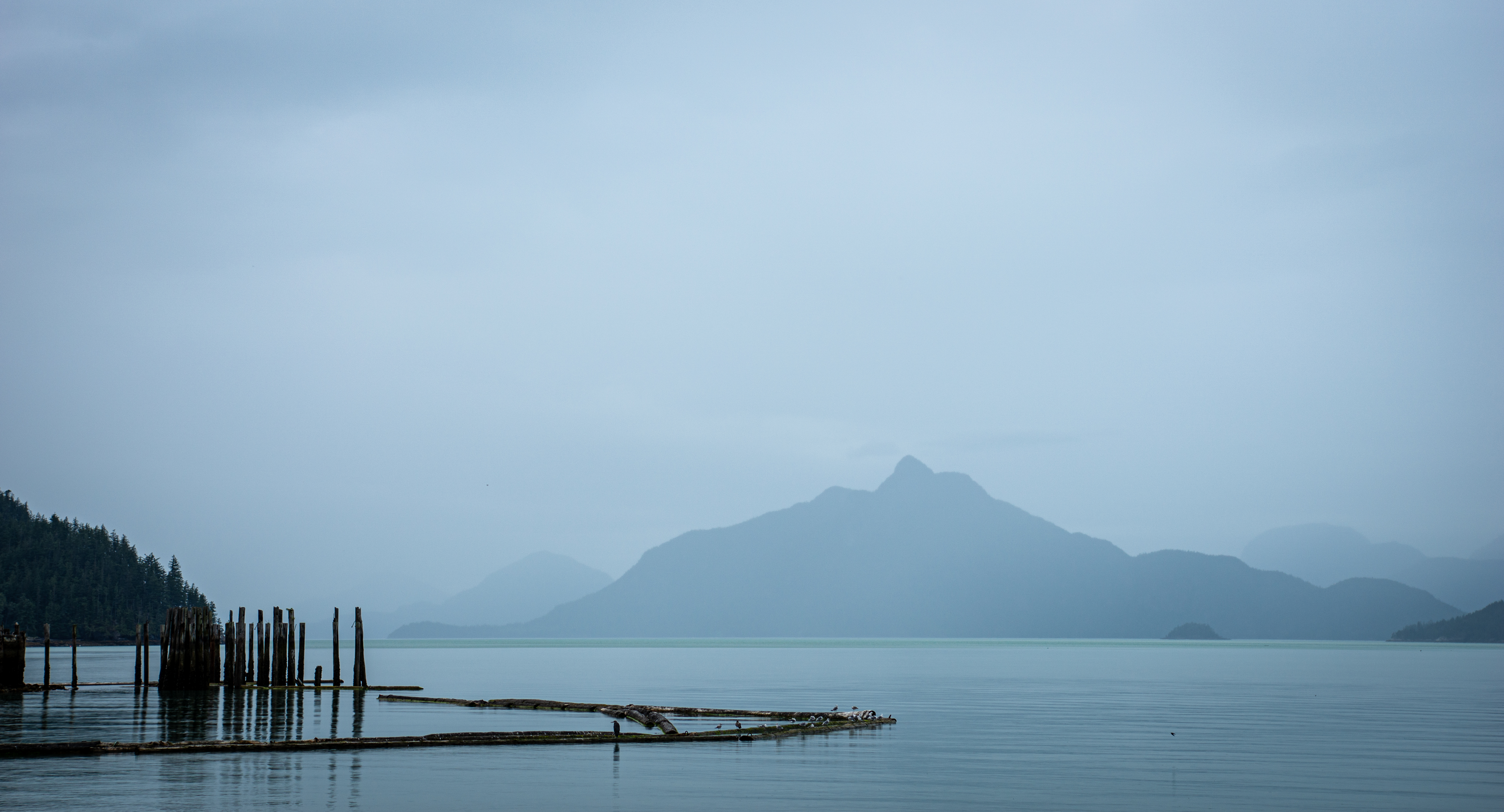
We were excited to see the serene waters of the sound as we rounded the twisting highway out of the city. After suffering environmental damages for decades, Howe Sound and its surroundings underwent extensive restoration. The restoration efforts found much success in bringing back the health of the local ecosystem, and Howe Sound was named a UNESCO Biosphere Reserve just a few years back.
The Sea-to-Sky Highway brought us to our lodgings in Britannia Beach, where we were staying in a bungalow overlooking the quiet husk of a former copper mine. Nature and tourism had taken over the mine, and densely laden berry bushes lined a path we could have taken down to the mine’s visitor center. However, this blog is not about visitor centers. At the house, we planned out how to make the most of the days ahead.
There’s Copper In Them Thar Hills
We didn’t need to travel far for our first hike of the trip. The hills behind Britannia Beach, it turned out, were littered with trails and logging roads. We set our sights on Goat Ridge, almost due east of town, and drove as far as we could in that direction before encountering a gate. Parking just below said gate, we were soon walking up a modest grade along a dirt road.
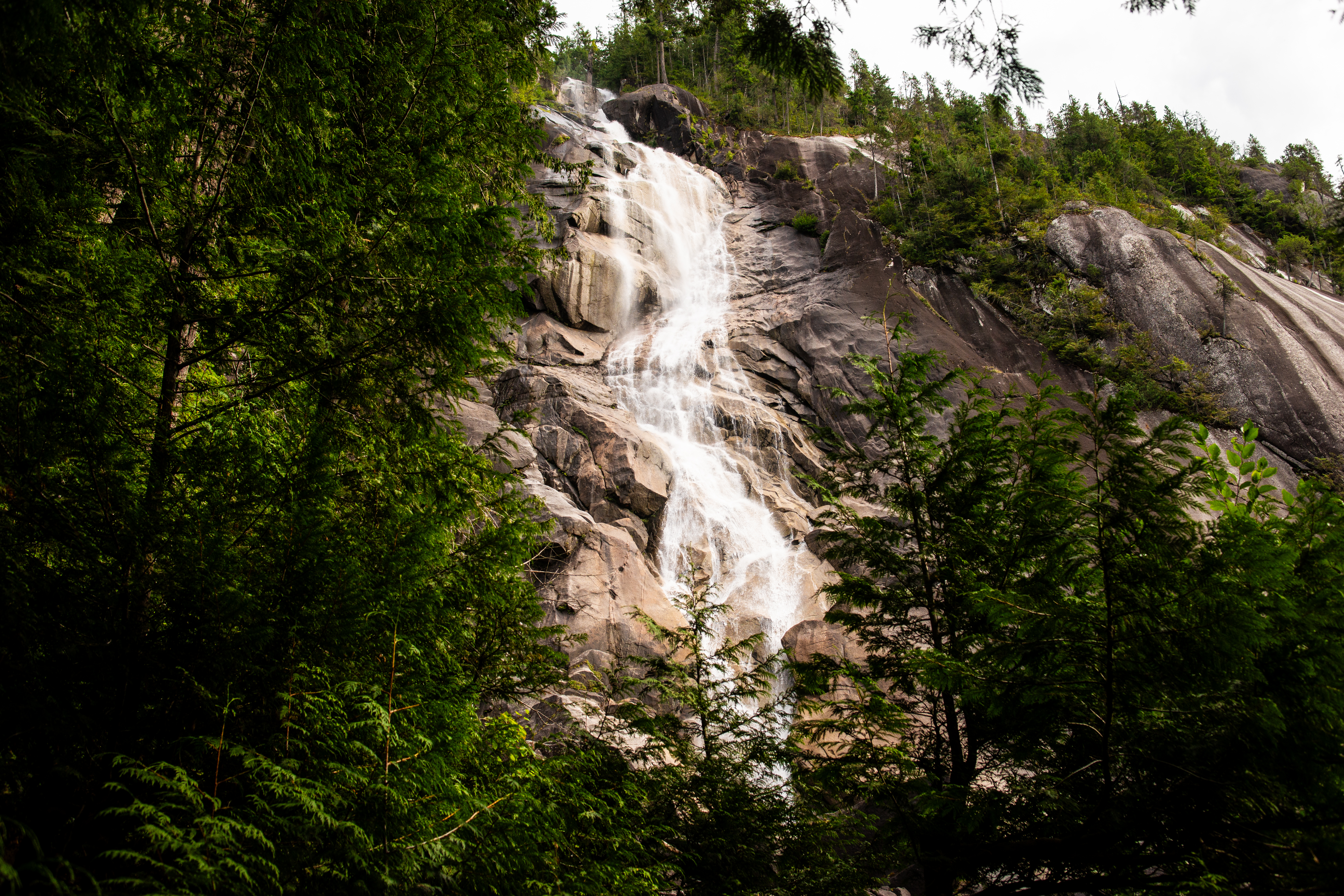
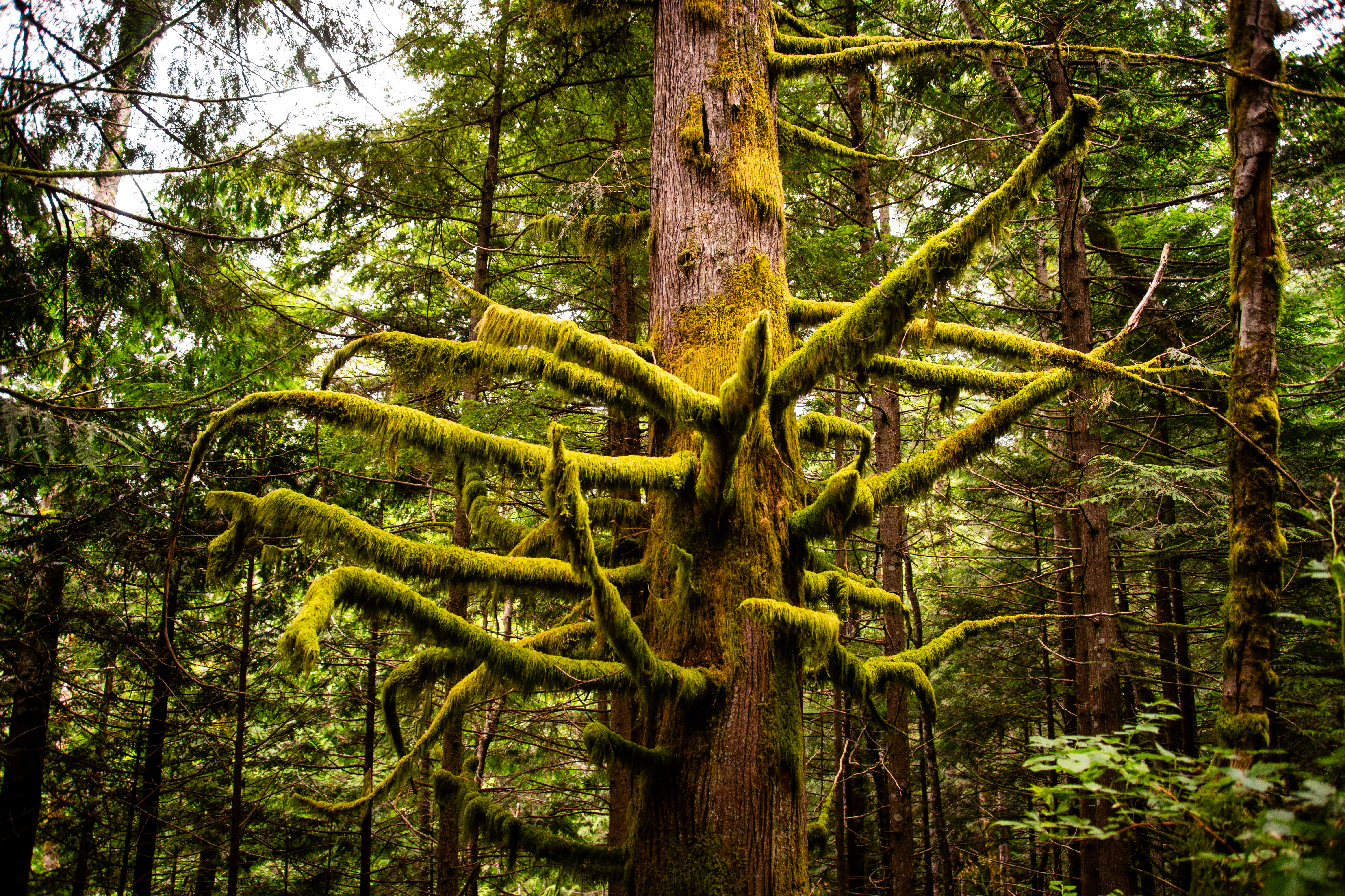
Plant life proliferated along the road’s edge, including wild raspberry and blackberry bushes bowed over with fruit. The Pacific Northwest’s characteristic moss-covered trees also towered overhead, creating a shady canopy. Wildflowers abounded. The soft mists drew the million shades of green into all the right kinds of contrast. Really, it was the ideal PNW hiking experience.

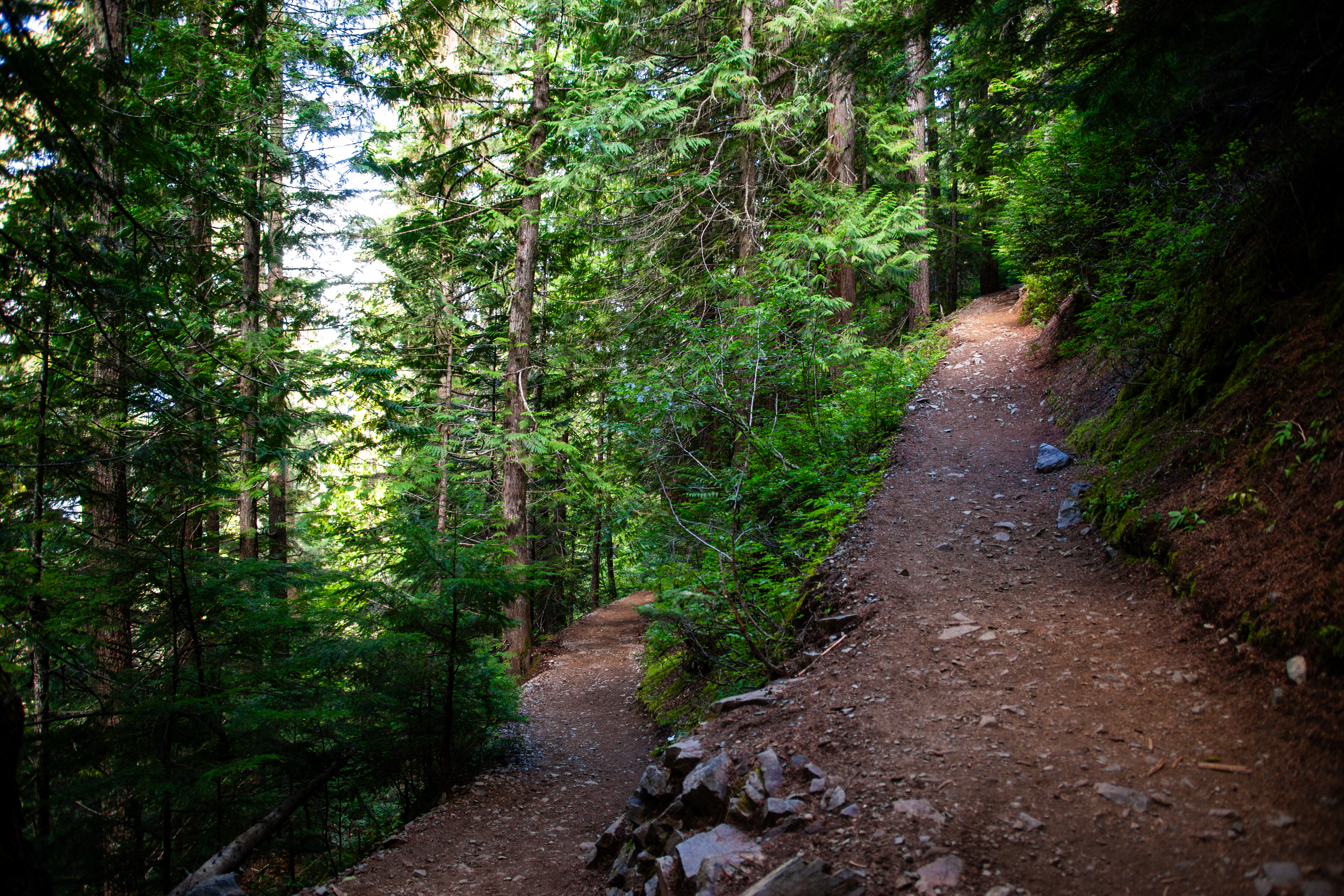
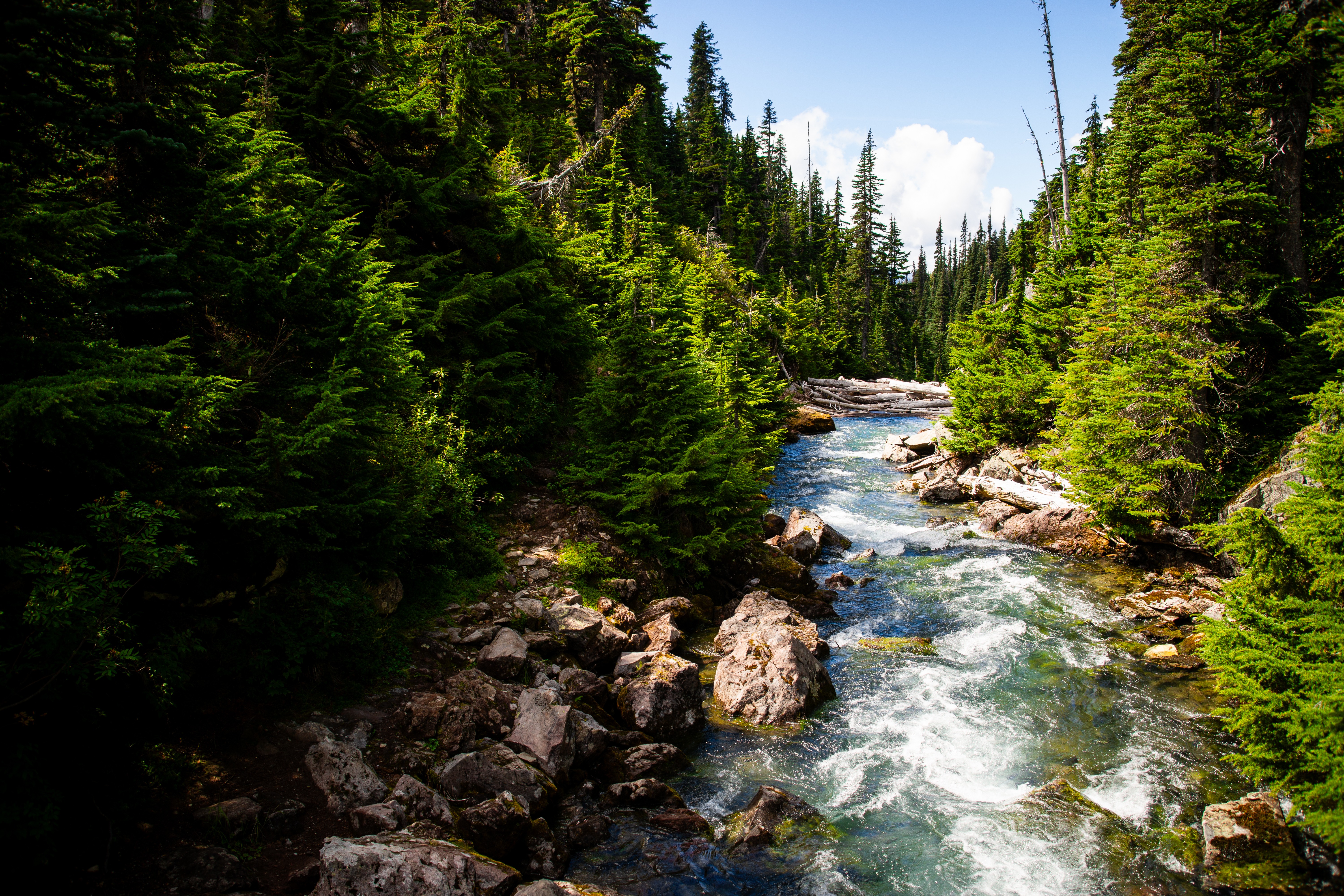
We crossed Britannia Creek via a concrete bridge, about two miles from our starting point. The route narrowed – still a forest road, but one that hadn’t seen much use and was starting to become overgrown. The way ahead also became much more steep as we started to ascend out of the valley.
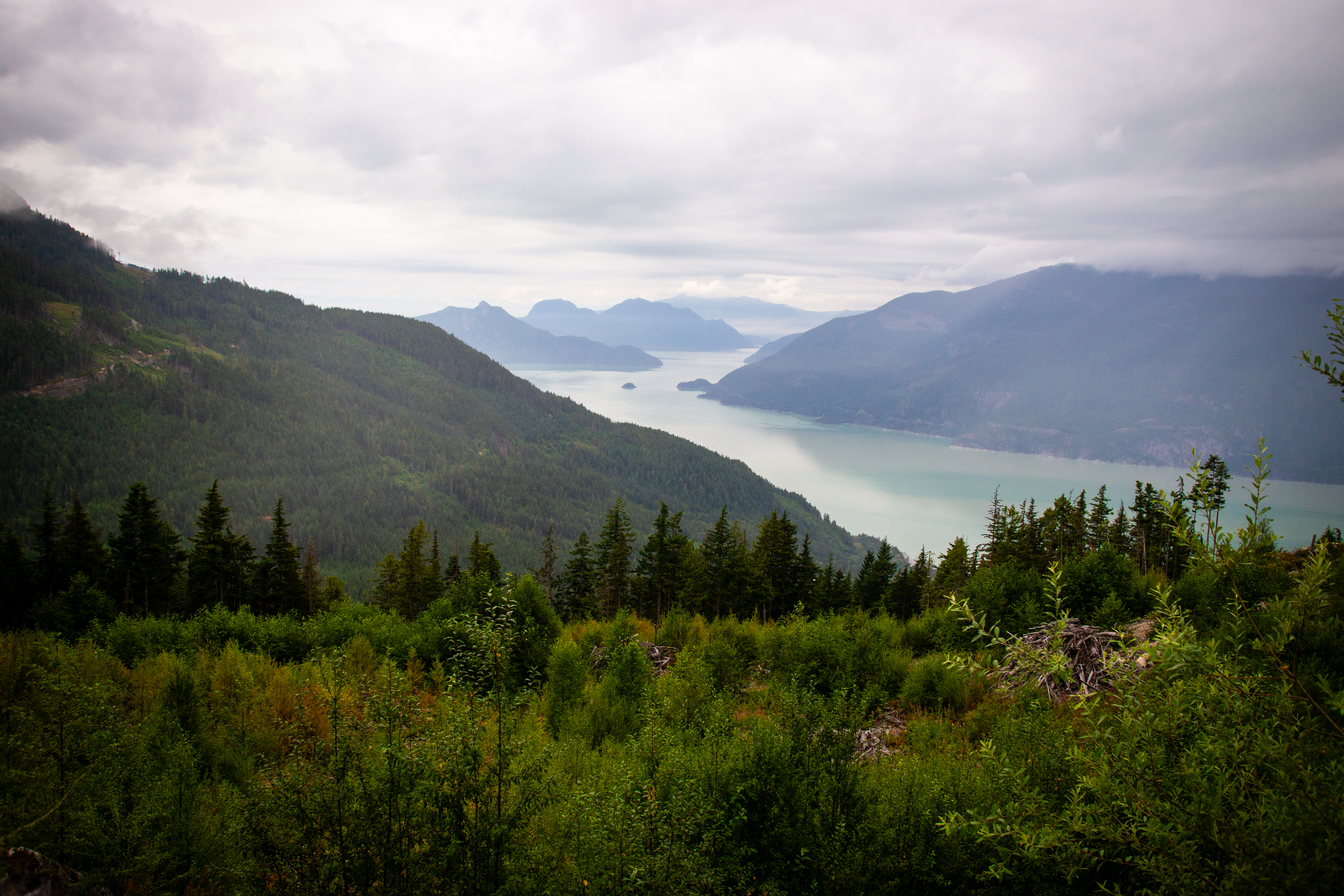
Within another mile, the overgrown forest road had dwindled to a trail. The trail split and merged in several areas, but eventually brought us to the shoulder below the west end of Goat Ridge. Here we arrived at an open meadow, with wide views of Howe Sound below.
The meadow was an artificial one, created by a tree-removal operation at some point not too far past. Several jagged stumps still dotted the area. The trail also ended here, or at least snaked off in so many directions that the way forward was no longer apparent.
Standing in the mud, gazing out at the view, we considered our options. Continuing forward would mean trekking sans path up an extremely steep slope. There was no guarantee we would be able to find the trail again. On a sunnier day, it might have been a fine, and maybe even exciting prospect. As it was, with the faintest drizzle of rain starting to come down, we decided it best to enjoy what we had accomplished and to head back down.
The return hike went quickly, particularly after we were back on the wide-open dirt road. Upon returning to the car, we checked and found that we had covered just shy of 7.5 miles. It was a good warm-up for what was to come next.
Garibaldi Lake
Looking north, we found an exciting follow-up to our first hike. Leaving early in the morning, we drove through the town of Squamish and carried on to Garibaldi Provincial Park. The park is home to Garibaldi Lake, and that was to be the day’s objective.
We pulled into the Garibaldi Lake parking area at about 9:00 in the morning, which it turned out was not early enough to avoid a cramped parking lot. We hadn’t taken campers and backpackers into account. Luckily, we found a space, and we were soon on the trail.
This hike was immediately different from the previous one. The approach to Goat Ridge had been a gentle grade that then turned to a steep climb later on. The hike to Garibaldi Lake was an uphill slog from the get-go.
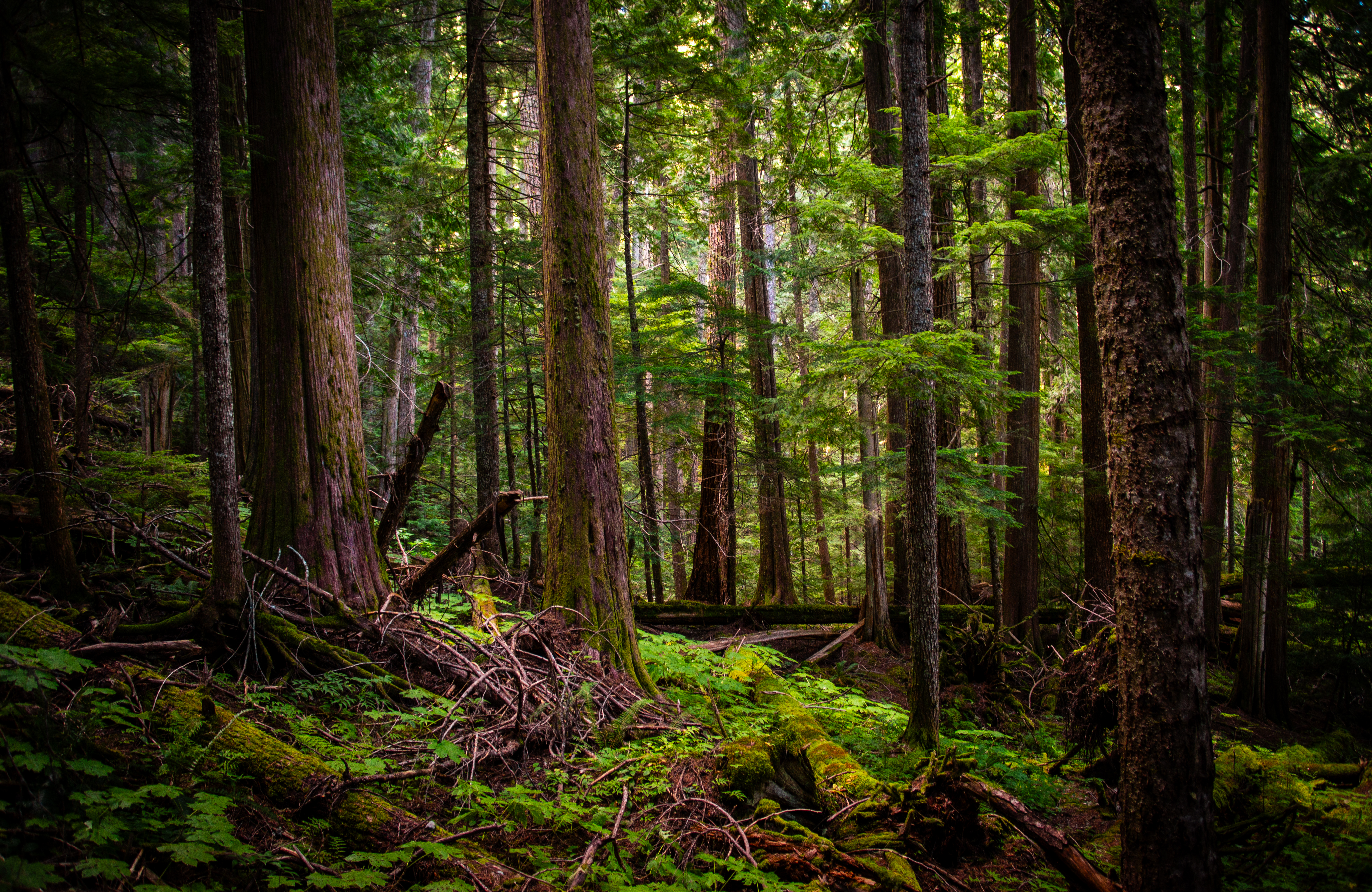
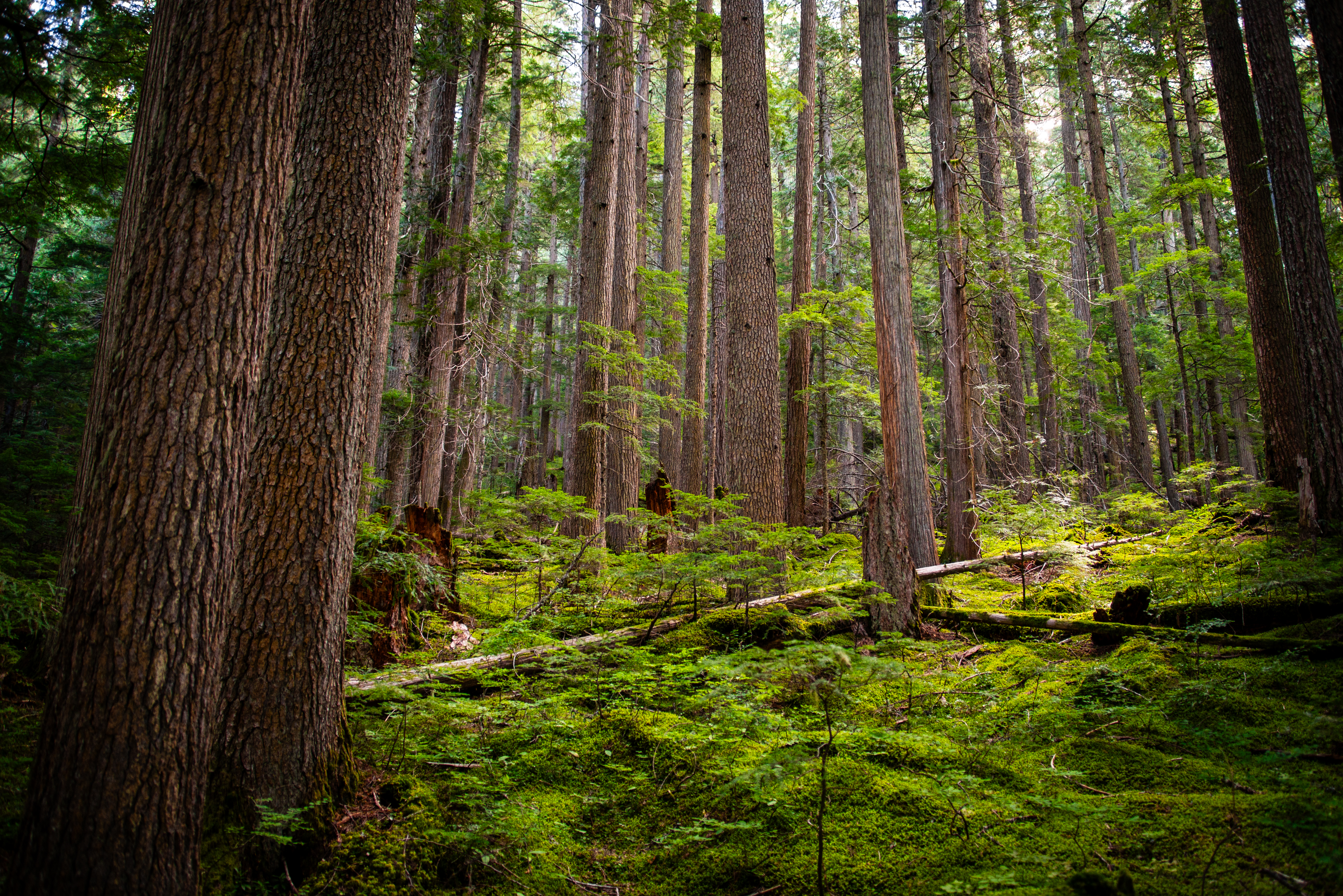
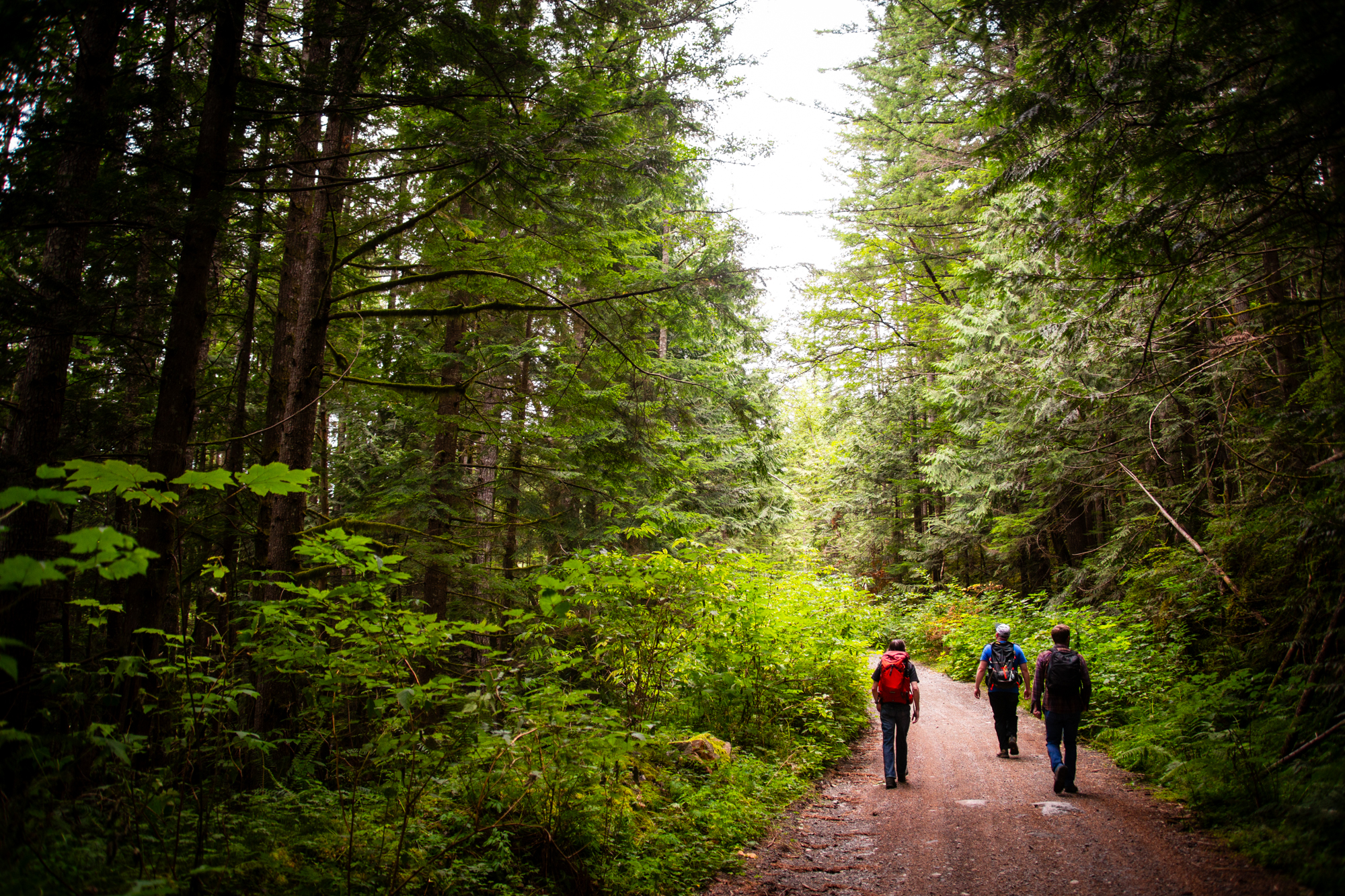
The path took us through evergreens sprouting from dense, green undergrowth. The dirt of the trail was interspersed with occasional creek crossings, but the entire route was clean and well-maintained.
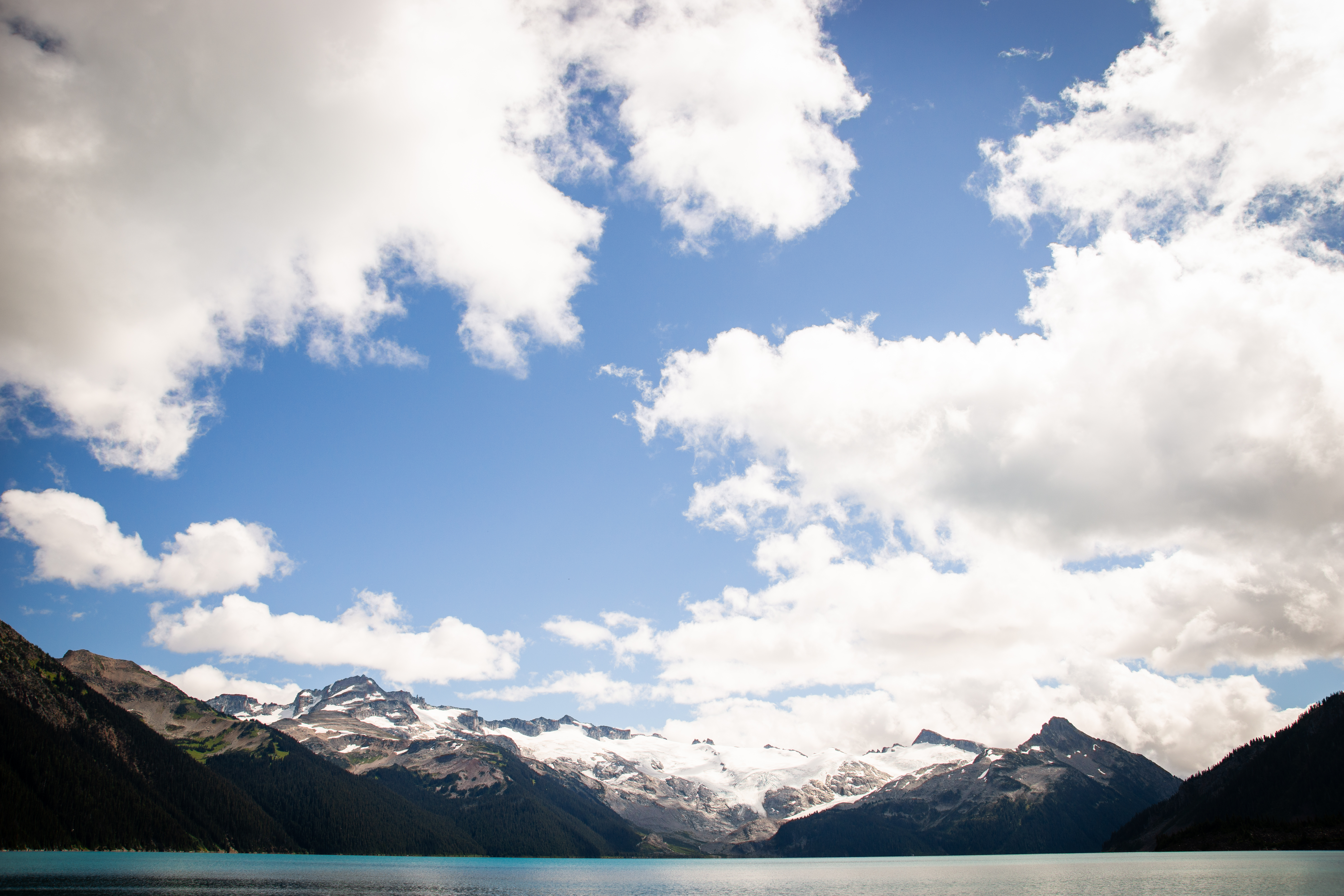
About 2 miles in, we began encountering switchbacks. Again, and again, and again, we were turning at a dizzying pace. It turned out that we were climbing up the side of an ancient lava flow known as “The Barrier.” This formation acts as a natural dam, holding Garibaldi Lake behind it. The Barrier is also considered to be unstable, which is why there are no longer any permanent settlements in the valley below it.
Another 2 miles of switchbacks brought us to the top of The Barrier, and to the shores of Barrier Lake, just the first lake along this trail.
Just half a mile past Barrier Lake was Lesser Garibaldi Lake. What we could see of this lake through the trees looked beautiful, and could have been a main destination on any of our hikes back in Colorado. Given our main goal for the day was still ahead though, we carried on past.
The final stretch of trail was surrounded by dense growth. Therefore, our jaws just about hit the ground when we rounded a final bend and caught our first glance of Garibaldi Lake. The waters were crystalline and surrounded by peaks still bearing residual snowpack. We found that we had to just sit and look for a while, and not only because of the climb up.
We spent a long time walking around the western edge of the lake. Despite how full the parking area had been at the trailhead, the crowds up along the shore were reasonably small, and we experienced some moments of quiet as we rested. Climbing up meant climbing down again though, and while it was difficult to leave, we were eventually clambering back over to the trail and making our way back.
As with all these kinds of hikes, we made quick work of the all-downhill return, and returned to the car with ample daylight. The GPS told us that it had been a 12.5-mile hike. Not bad for four guys in varying levels of out-of-shape, especially considering the significant elevation gain. We packed up the car and headed back to Britannia Beach.
Thanks for reading!
~Sky & Ty

Beautiful!!! Love your posts!
LikeLiked by 1 person
The scenery looks incredible from the pics! Can’t imagine how breathtaking it actually was!
LikeLiked by 1 person